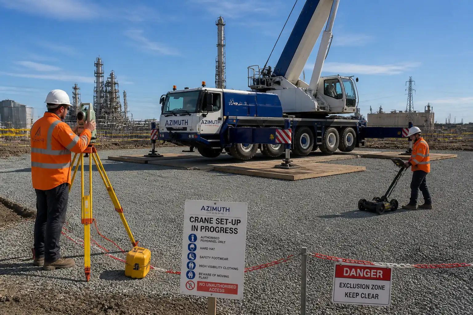
Method Statement: Pre-construction Underground Utility Detection and Potholing (CAT & Genny, GPR, Vacuum Excavation, Trial Holes) – Method Statement
AI-assisted method statement with matching ITP, PDF download, and Excel export.
More than a static template
Unlike a downloadable Word or PDF template, this method statement is an AI-assisted editable starting point connected directly to a matching Inspection and Test Plan. Every section is structured, project-adaptable, and ready to export.
- AI-assisted drafting — Customize every section with AI for your specific project scope.
- Linked ITP — A matching inspection and test plan is generated alongside the method statement.
- Multiple export formats — Download as a formatted PDF or editable Excel spreadsheet.
- Editable starting point, not a final document — Review, verify, and adjust all content against your project requirements before use.
Static template vs. Quollnet workflow
| Feature | Static template | Quollnet |
|---|---|---|
| Project-specific content | Manual fill-in required | AI-assisted customization |
| Linked ITP | Separate document, no link | Matching ITP included |
| Export formats | Usually PDF only | PDF and Excel |
| Structured sections | Free-form layout | 13 standardized sections |
| Saved to your account | Local file only | Cloud-saved, reusable |
| Content accuracy | You verify everything | AI-assisted, you still verify |
| Cost | Often free but time-intensive | Free to customize and download |
What you can customize
When you save this method statement to your account, every section becomes editable. The following 13 sections are included:
- Scope — Defines the activity and its boundaries.
- References — Standards, specifications, and drawings.
- Responsibilities — Roles and accountabilities.
- Resources — Labour, plant, and equipment summary.
- Materials — Materials and compliance requirements.
- Equipment — Tools and equipment details.
- Prerequisites — Hold points and pre-conditions.
- Method sequence — Step-by-step construction sequence.
- Safety controls — HSE risk controls and PPE.
- Environmental controls — Environmental mitigation measures.
- QA/QC — Quality inspection and test requirements.
- ITP — Inspection and Test Plan table (has its own page).
- Attachments — Referenced drawings and documentation.
Why this method statement is used
This method statement is used to define and communicate the approved procedure for carrying out method statement: pre-construction underground utility detection and potholing (cat & genny, gpr, vacuum excavation, trial holes) on site. It ensures the work is planned in advance, the correct resources and controls are in place, and all personnel understand responsibilities, sequence, quality requirements, and safety controls before work begins. It aligns site execution with the documented scope and acceptance expectations.
Who uses this method statement
This method statement is used by contractors, site supervisors, project engineers, QA/QC engineers, HSE officers, consultants, and client representatives. It serves as a shared reference for planning, execution, supervision, inspection, and approval of the activity on site.
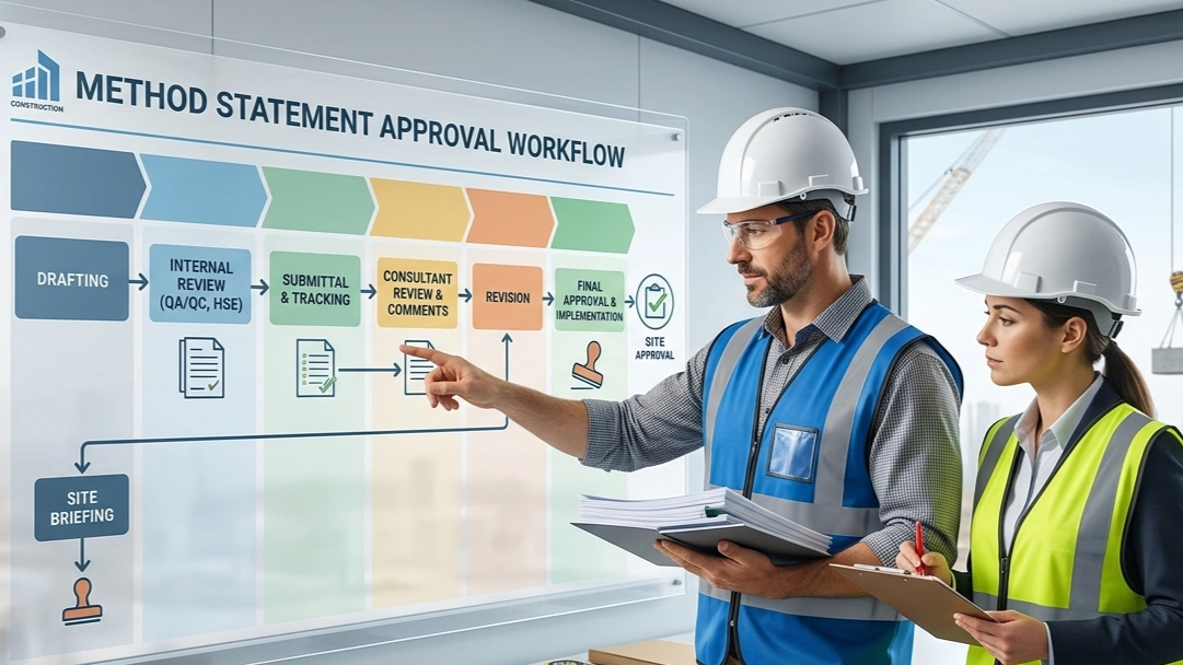
When it is prepared and submitted
The method statement is prepared before the work activity starts and submitted as part of the pre-construction documentation package for review and approval.
Who reviews or approves it
The method statement is usually submitted to the client representative, consultant, resident engineer, or project management consultant for review and approval before the work commences.
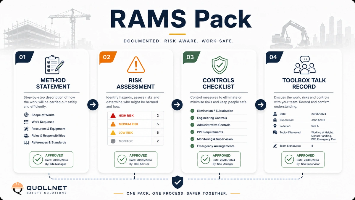
Important approval note
This method statement is an AI-assisted editable starting point, not a pre-approved document. Before use on any project, all content must be reviewed and approved by the relevant parties (superintendent, principal contractor, or client representative) in accordance with your contract and project quality plan.
For example: if your specification requires a departure from a referenced standard, that departure must be documented and approved separately — this method statement will not capture that automatically. Always verify against your applicable drawings, specifications, and regulatory requirements.
Method statement content
Scope
Overview
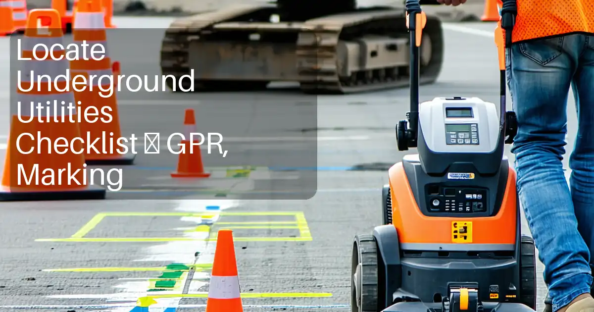
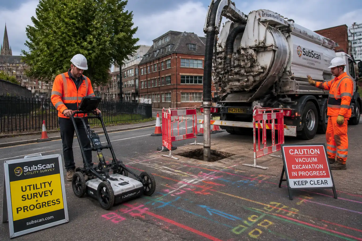
This method covers planning, detection, verification, surveying, and marking of underground utilities prior to excavation or any intrusive construction works. Methods include:
- Desktop utility search and review of records
- Site scanning using Electromagnetic Locator (CAT) with signal generator (Genny) and Ground Penetrating Radar (GPR)
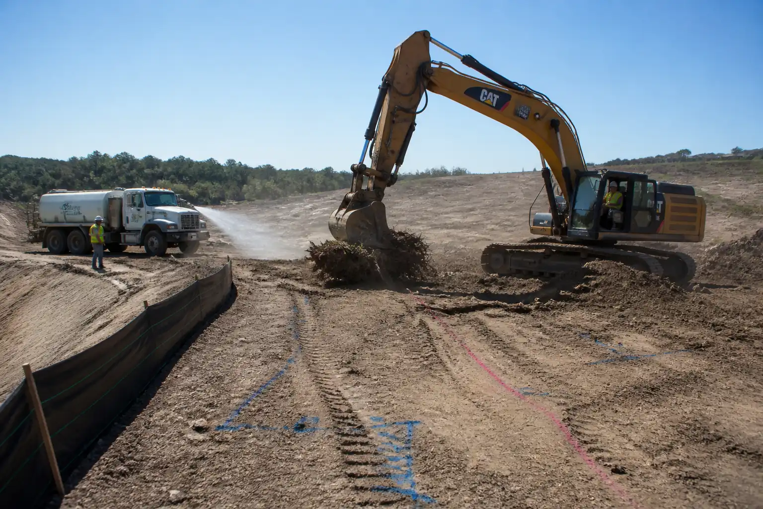
- Selection and execution of vacuum excavation and hand-dug trial holes (potholing) to expose utilities
- Survey-grade measurement and documentation of as-built utility positions
- Marking of clearance zones and establishing exclusion limits for subsequent works
- Reinstatement of trial holes to authority or project standards
Locations
- All areas scheduled for excavation, piling, ground improvement, or any intrusive activity within site limits.
Objectives
- Achieve utility Quality Level (QL) per PAS 128:2022 and/or ASCE 38-22: QL-B from detection; QL-A via potholing at critical crossings/conflicts.
- Provide survey deliverables in project grid and datum with defined accuracy targets.
- Prevent utility strikes and unplanned outages by enforcing clearance zones and a Permit-to-Dig/Excavate process.
Exclusions
- Permanent utility diversions or protection works (covered under separate method statements).
References
| Document Type | Reference / Number | Revision | Notes |
|---|---|---|---|
| Standard/Code | PAS 128:2022 - Specification for underground utility detection, verification and location | Primary guide for survey quality levels (QL-A to QL-D) and methodology [Verify applicability]. | |
| Standard/Code | ASCE 38-22 - Standard Guideline for Investigating and Documenting Existing Utilities | Alternative/complimentary standard to PAS 128 [Verify applicability]. | |
| Standard/Code | ASTM D6432 - Standard Guide for Using the Surface Ground Penetrating Radar Method for Subsurface Investigation | GPR data acquisition and interpretation guidance. | |
| Standard/Code | ISO 9001 - Quality management systems | Quality controls for calibration, records management. | |
| Standard/Code | ISO 45001 - Occupational health and safety management systems | Framework for H&S controls [Verify per project HSE plan]. | |
| Standard/Code | ISO 14001 - Environmental management systems | Environmental controls and waste management. | |
| Guideline/Spec | Local highway/authority specification for reinstatement (e.g., HAUC SROH/Local Authority Standard) | Materials and compaction for backfill/temporary/permanent reinstatement [Verify per authority]. | |
| Guideline | Utility color marking standard (e.g., APWA Color Code or Project Utility Marking Standard) | Ground marking colors/symbols [Verify per project]. |
Responsibilities
| Role | Responsibility | Name / Party |
|---|---|---|
| Construction/Project Manager | Overall implementation of this method; coordination with utility owners; approval of ITP and hold points; ensures permits-to-dig are in place. | |
| Utility Survey Lead / Senior Surveyor | Leads utility detection planning; selects methods (CAT/GPR/potholing); manages survey control, data QA, and final drawings/BIM updates. | |
| Utility Locator / Survey Technician | Conducts field scanning (EMI and GPR), records data, marks utilities, performs trial hole measurements, and compiles field logs. | |
| Vacuum Excavation Operator | Operates vacuum excavator; sets exclusion zones; ensures safe excavation practices; coordinates with banksman and HSE. | |
| Banksman / Traffic Marshal | Controls site access and traffic management; acts as spotter for plant-to-utility distances; maintains barriers and signage. | |
| HSE Manager / Officer | Approves risk assessments and method statements (RAMS); ensures permits, gas detection, and emergency preparedness; audits controls. | |
| Client/Engineer’s Representative | Witness/approve hold points; review deliverables; authorize clearance for subsequent works. |
Resources
| Resource Type | Description | Quantity | Remarks |
|---|---|---|---|
| Personnel | 1 | PAS 128 / ASCE 38 competent [Verify]. | |
| Personnel | 2–4 [Verify] | GPR interpretation trained, EMI certified. | |
| Personnel | 2–3 | Operator + Topman/Spotter. | |
| Personnel | 2 | Senior surveyor + assistant. | |
| Personnel | 1 | Site-based during intrusive works. |
Materials
| Material | Specification / Grade | Quantity | Remarks |
|---|---|---|---|
| High-visibility marking paint/flags | Non-permanent, weather-resistant, rapid-dry aerosol/flags | Project-approved utility color coding [Verify]. | |
| Barriers and signage | Impact-resistant, reflective class per local road authority | Barrier tape, cones, Chapter-8/MUTCD signage as applicable. | |
| Utility support materials | Timber cribbing, padded slings, non-conductive props | Only where support to exposed services is needed. | |
| Backfill and reinstatement materials | Granular fill 20–40 mm well-graded; compaction to ≥95% MDD [Verify]; cold-lay or hot-mix asphalt to match existing [Verify]. | As per authority standard (e.g., Type 1 sub-base, flowable fill). |
Equipment
| Equipment | Capacity / Type | Quantity | Inspection Required |
|---|---|---|---|
| Electromagnetic Locator (CAT) + Genny | Up to 10 m detection (typical, soil-dependent) | Yes | |
| Ground Penetrating Radar (GPR) | Depth up to 3 m (soil- and frequency-dependent) | Yes | |
| Vacuum Excavation Truck | Vacuum ≥3,000 m3/h; water 100–200 bar [Verify] | Yes | |
| Total Station / GNSS RTK | Angle 2"; distance ±(2 mm + 2 ppm); GNSS ±15 mm horiz [Verify] | Yes | |
| Portable Gas Detector | Range per sensor type | Yes | |
| Traffic management kit / Vehicle with beacons | Yes |
Prerequisites
- Approved RAMS and Job Safety & Environmental Analysis (JSEA/JSA) signed by crew and Supervisor.
- Permit-to-Dig/Excavate system implemented; obtain utility search responses/plant protection drawings from all utility owners; confirm validity period.
- Designate survey control (benchmarks/backsights) validated to project grid and datum; record checks ±10 mm horizontally and vertically [Verify].
- Tool-box talk covering utility strike avoidance, emergency response, and communication protocols.
- Calibration certificates: CAT/Genny, GPR, gas detectors, survey instruments; daily function tests logged.
- Traffic Management Plan approved by road authority where working on/adjacent to carriageways [Verify].
- Emergency plan: utility strike response, gas leak, electrocution; utility owner contact list posted.
- Environmental controls staged: drip trays, spill kits, waste containers, noise/dust controls [Verify per project EMP].
- Notifications to stakeholders and residents where required.
- Subsurface risk register established and drawing set issued to field teams (latest revision only).
Method Sequence
| Step | Activity | Description | Responsibility | Inspection / Hold Point |
|---|---|---|---|---|
| 1 | Desktop Utility Records Review | Collect, log, and overlay all available records (utility owner maps, previous surveys, as-builts) into GIS/CAD/BIM; assign confidence level (QL-D). Identify high-risk corridors and conflict zones. | Utility Survey Lead | ID of utility owners complete; records up to date. |
| 2 | Site Reconnaissance & Control Establishment | Walkover to note surface indicators (covers, valves, pedestals, cabinets). Establish and verify survey control; check instrument accuracy. | Survey Crew | Instrument checks recorded; control closure within tolerance. |
| 3 | EMI (CAT & Genny) Scanning | Perform passive (power/radio) and active (direct connect/induction) sweeps along proposed work areas. Multiple orientations (orthogonal and diagonal). Estimate depths where reliable. | Utility Locator | Daily function test prior to use; supervisor spot checks. |
| 4 | GPR Scanning | Grid-based GPR acquisition over target areas. Typical line spacing 0.25–0.5 m for high-confidence corridors; denser near crossings. Use appropriate antenna (e.g., 400 MHz general, 250 MHz deeper, 600–700 MHz shallow detail). | GPR Technician | Data quality review on site; gain/time-window set appropriately. |
| 5 | Marking and Survey of Detected Utilities (QL-B) | Mark utilities on ground using project color code; label type, depth estimate, date, and initials. Survey painted marks and key features using total station/GNSS tied to control. | Survey Crew | Supervisor verifies completeness of mark-out vs plan extents. |
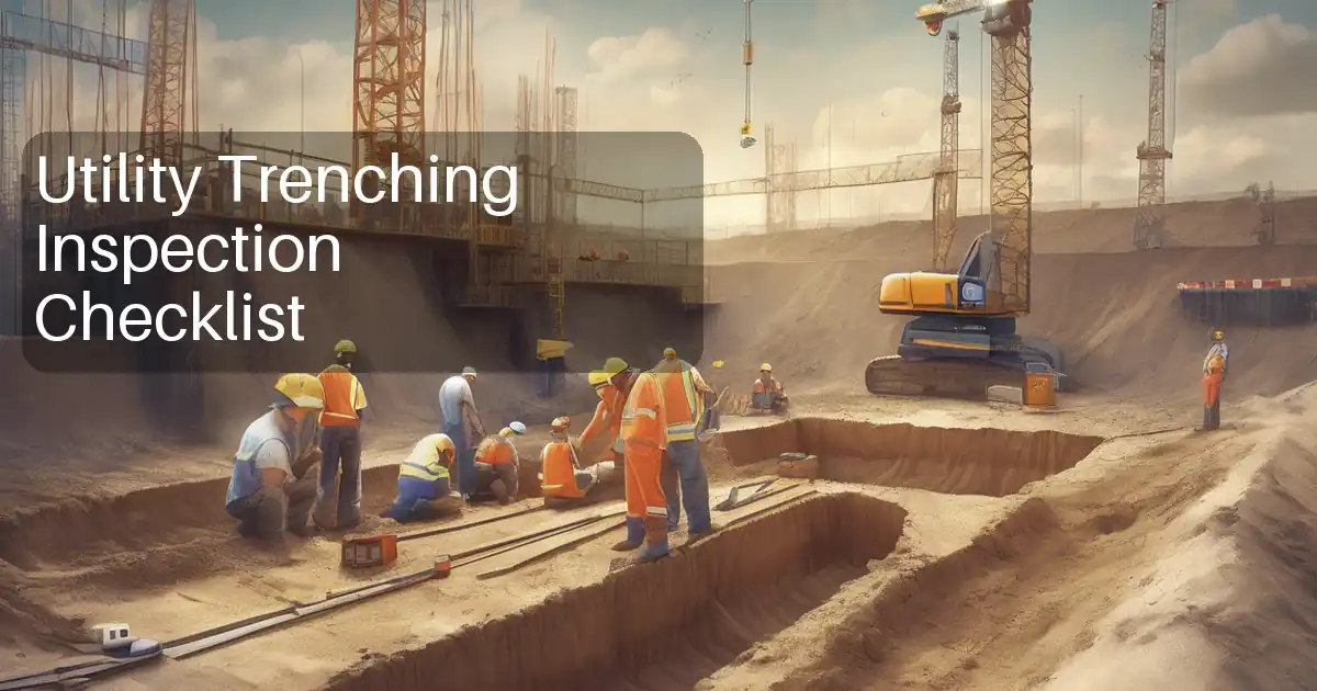
| 6 | Selection of Trial Holes (Potholes) | Risk-based selection at conflicts, crossings, connection points, bends/tees, and where detection confidence is low. Prepare Potholing Plan showing proposed hole size and method (air/hydro-vac). | Utility Survey Lead | Engineer/Client review (Hold Point HP1). |
| 7 | Traffic Management & Site Setup | Install traffic controls, barriers, and exclusion zones. Position vacuum truck upwind where possible. Conduct pre-start briefing and gas detection if required. | Site Supervisor / HSE | TM in place; plant and pedestrian segregation. |
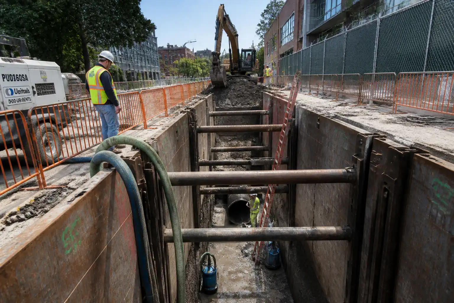
| 8 | Vacuum Excavation (Daylighting) | Cut small surface opening. Excavate using air lance (preferred) up to utility. If hydro-vac, limit water pressure to ≤200 bar and keep nozzle moving; maintain min 150 mm stand-off. Progress in 50–100 mm increments, stop at first contact with utility bedding. No mechanical excavation within 500 mm horiz/vert of expected utility. | Vacuum Excavation Operator | Banksman present; live utility watch; gas monitoring as needed. |
| 9 | Utility Identification, Support, and Measurement | Identify utility type (visual markers, tracer wire, cover color, pit label), measure horizontal and vertical coordinates at multiple points; note material, diameter, direction, and condition. Provide temporary padded supports if span >1.0 m unsupported [Verify]. | Utility Locator / Survey Crew | Engineer witness (Witness Point WP1) for first-of-kind and critical lines. |
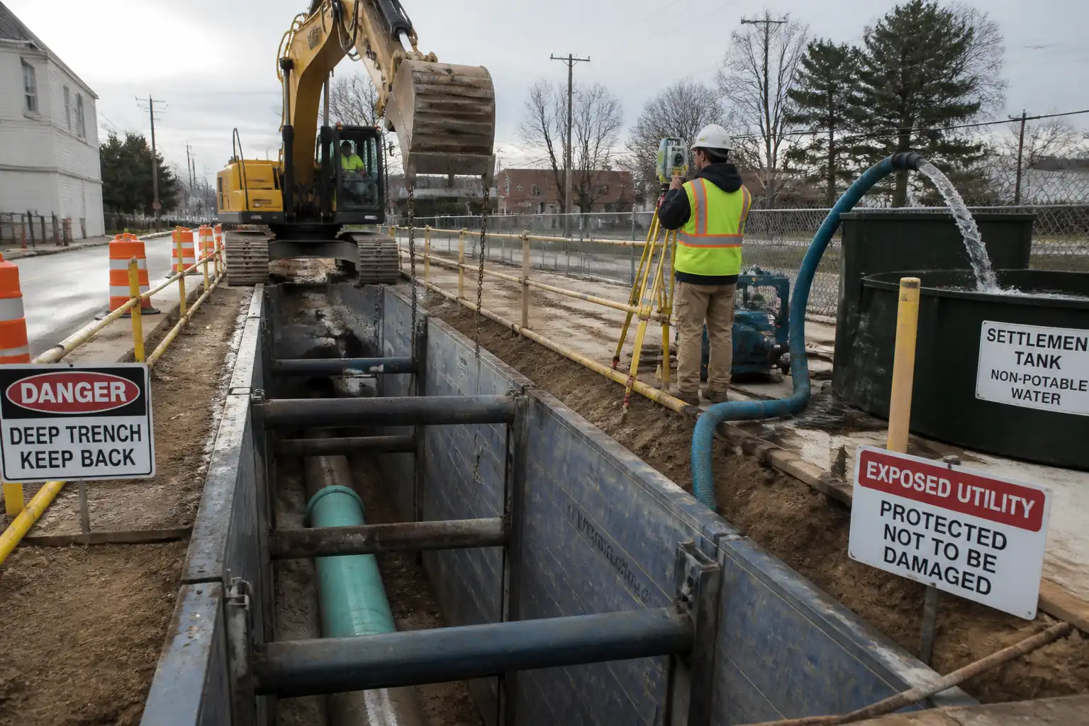
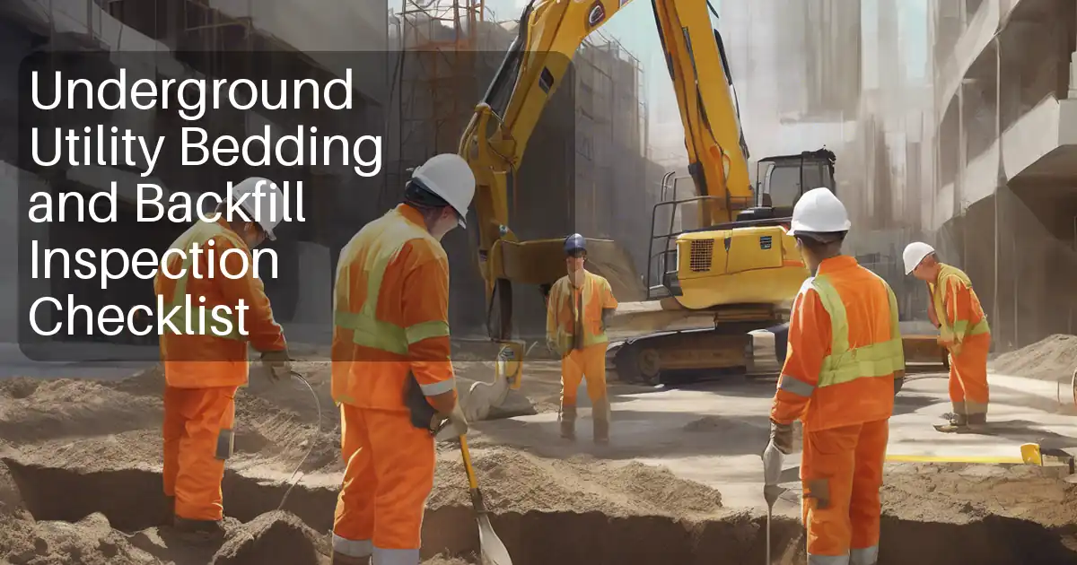
| 10 | Backfilling and Temporary Reinstatement | Place warning tape if required; backfill with selected granular material in layers ≤150 mm compacted to ≥95% MDD [Verify]. Reinstate surfacing to local authority standard; ensure flush, safe surface. | Site Supervisor | Compaction checks; surface finish inspected. |
| 11 | Data Processing, Drawing Production, and Clearance Zones | Process EMI/GPR and QL-A data; adjust to control; generate 2D/3D model showing QL for each asset. Define no-mechanical-dig zones typically 1.0 m horizontally and 300 mm vertically from verified utilities [Verify]. Paint clearance lines onsite and issue updated Permit-to-Dig map. | Utility Survey Lead | QA review by Senior Surveyor; Client review (Hold Point HP2). |
| 12 | Handover and Permit Release | Conduct joint walkdown with Client/Engineer; brief construction teams; issue final survey and mark-out plan; release Permit-to-Dig with conditions. | Construction Manager | Client sign-off (Hold Point HP3). |
Safety Controls
Principal Hazards and Controls
- Hazard: Contact with live electrical cable (LV/HV)
- Likely consequence: Electrocution, burns, fatality
- Engineering/procedural control: Mandatory Permit-to-Dig; desk study + EMI + GPR; vacuum excavation only within last 500 mm; maintain minimum approach distances per utility owner; use non-conductive tools near exposure
- Required PPE: Arc-rated clothing [if HV risk], dielectric gloves, safety boots, eye/face protection
- Collective preventive measure: Physical exclusion zone ≥3 m; insulated mats where appropriate
-
Inspection/permit/supervision: Daily CAT function test; HSE supervision; HP1/HP2 approvals; utility owner notified where required [Verify per project HSE plan and local regulations]
-
Hazard: Pressurized gas main strike
- Likely consequence: Explosion, fire, asphyxiation
- Control: Air-vac preferred; no sparks/hot works; continuous gas monitoring when exposing suspected gas lines; immediate stop-work on gas odor/LEL >10% reading
- PPE: Flame-resistant clothing, gloves, eye protection
- Collective: Exclusion zone; no ignition sources; fire extinguisher Class C
-
Inspection/permit: Gas detector bump test; emergency plan and utility contact list on site
-
Hazard: Water main/force main rupture
- Likely consequence: Flooding, ground collapse, contamination
- Control: Vacuum only; staged exposure; install shoring for holes >1.2 m deep [Verify]; position truck to avoid collapse zone; sump/pump ready
- PPE: Waterproof boots, gloves, eye protection
- Collective: Edge protection, barriers
-
Inspection/permit: Excavation permit; daily excavation inspection
-
Hazard: Vacuum hose/jetting injury (entanglement, injection)
- Likely consequence: Lacerations, fluid injection injuries
- Control: Trained operator; keep nozzle moving; maintain stand-off; lock-out during maintenance; never point lance at personnel
- PPE: Cut-resistant gloves, face shield, hearing protection
- Collective: Designated operating zone, banksman control
-
Inspection/permit: Pre-use inspection; pressure gauge check; maintenance logs
-
Hazard: Traffic interface (work near live carriageway)
- Likely consequence: Vehicle collision, struck-by
- Control: Approved Traffic Management Plan; signage, cones, crash-rated barriers where required; high-vis garments class per code
- PPE: High-visibility vest/jacket, safety boots, hard hat
- Collective: Traffic marshals; plant–people segregation
-
Inspection/permit: Road authority permit; daily TM inspection checklist
-
Hazard: Confined space-like conditions in deep or narrow trial holes
- Likely consequence: Asphyxiation, toxic exposure, engulfment
- Control: No entry policy to trial holes; if unavoidable, treat as confined space with permit, atmospheric testing, rescue plan
- PPE: Gas detector, harness (if entry authorized), appropriate respirator if specified
- Collective: Tripod/retrieval system; barriers
-
Inspection/permit: Confined space permit; standby attendant
-
Hazard: Manual handling and awkward postures
- Likely consequence: Musculoskeletal injury
- Control: Use mechanical aids; team lifts; limit lifted loads <25 kg [Verify]
- PPE: Gloves, supportive footwear
- Collective: Task rotation; ergonomics briefing
-
Inspection/permit: HSE observation audits
-
Hazard: Noise and vibration from vacuum truck and tools
- Likely consequence: Hearing loss, nuisance
- Control: Maintain equipment; restrict exposure duration; place acoustic screens where practicable
- PPE: Hearing protection meeting SNR requirements
- Collective: Shift scheduling, quiet hours observance
-
Inspection/permit: Noise monitoring where required
-
Hazard: Biological/chemical exposure (sewage, hydrocarbons)
- Likely consequence: Infection, dermatitis
- Control: Hygiene controls; avoid aerosolization; disinfectant available
- PPE: Nitrile gloves under work gloves, eye/face protection, disposable coveralls when required
- Collective: Wash station; waste segregation
-
Inspection/permit: COSHH/chemical safety data available; vaccinations per policy [Verify]
-
Hazard: Slip, trip, fall into open holes
- Likely consequence: Injury from fall, impact with utilities
- Control: Edge protection, barriers and covers immediately after exposure; good housekeeping
- PPE: Safety boots with toe protection
- Collective: Hard barricades; lighting for night work
- Inspection/permit: Supervisor inspections each shift
Note: Where exact controls depend on local law and utility owner rules, verify per project HSE plan and local regulations.
Environmental Controls
- Wastewater and slurry management: Use air-vac where feasible to minimize wet spoil. If hydro-vac used, collect and tank all slurry; no discharge to surface/storm drains. Dispose at licensed facility with waste transfer notes.
- Spoil management: Segregate clean spoil from contaminated; place on impermeable sheeting; cover to prevent runoff/dust. Test suspected contamination per project EMP.
- Fuel and oil control: Vacuum truck to have drip trays, spill kits, and daily leak inspections. Refuel in designated bunded area.
- Noise and hours: Comply with local noise limits and working hours; use acoustic shrouds and shut down idling plant when not in use.
- Dust and air quality: Dampen surfaces in dry conditions; avoid water jets near fines-sensitive soils unless controlled; maintain filters on vacuum units.
- Water ingress/dewatering: If groundwater encountered, pump to settlement tank; sample and treat before discharge under permit [Verify].
- Vegetation and habitat: Avoid damage to tree roots; maintain buffer from trunks; hand expose within root protection areas [Verify arborist guidance].
- Cultural heritage: If artifacts or suspected heritage assets found, stop work and notify Client/Authority immediately (unexpected finds protocol).
- Environmental monitoring and reporting: Record incidents, near-misses, and waste quantities weekly; maintain MSDS for any chemicals used.
- Compliance: Follow ISO 14001 framework and project Environmental Management Plan (EMP).
Quality Assurance / Quality Control
Controls and Tolerances
- Detection coverage: 100% of work footprint plus 2 m buffer each side [Verify].
- GPR grid: 0.25–0.5 m line spacing in high-risk areas; up to 1.0 m in low-risk [Verify].
- Survey accuracy targets:
- QL-B marks: plan ±25–50 mm
- QL-A exposures: plan ±10–20 mm; elevation ±10–20 mm (crown/invert as applicable) [Verify]
- Deliverables: PAS 128-compliant object classes and confidence levels (e.g., B1, B2, B3, B4) recorded per feature.
Calibration and Verification
- CAT/Genny: Annual calibration (or per manufacturer) and daily function tests recorded.
- GPR: Performance check on known target at start of each shift; store raw and processed data with metadata.
- Survey instruments: Verification to control each shift; closure recorded; adjustments documented.
Data Management
- File naming per project standard; version control with revision history.
- Photos: Geotagged with date/time, feature ID, scale indicator.
- GIS/CAD/BIM integration: All features tagged with QL, method, date, operator ID, and notes.
Hold and Witness Points
- HP1: Approval of Potholing Plan locations and methods before intrusive works.
- WP1: Witness first-of-kind exposure and any critical crossing.
- HP2: Approval of consolidated utility model and clearance zones prior to permit release.
- HP3: Handover/permit sign-off before excavation works commence.
Acceptance Criteria
- No damage to any utility during detection or potholing.
- All identified conflict locations verified to QL-A or mitigated by redesign/clearance.
- Clearance zones clearly marked on ground and in drawings.
- Records complete, legible, and stored in project CDE (Common Data Environment).
Attachments
- Utility Records Register and Overlay Drawings (latest revisions)
- Calibration Certificates: CAT/Genny, GPR, Survey Instruments, Gas Detectors
- Traffic Management Plan and Road Authority Permit (if applicable)
- Risk Assessment and Method Statement (RAMS) / JSEA
- Potholing Plan (locations, size, method) and Hold Point approvals
- Daily Pre-start Briefing Forms and Attendance Sheets
- Field Logs: EMI/GPR logs, Excavation logs, Gas monitoring logs
- Survey Data Packages: raw, processed, CAD/GIS/BIM files, metadata
- Photo Register (geotagged) and Red-line Mark-ups
- Permit-to-Dig and Handover Sign-off Forms
This content is a read-only public reference. Download or customize to get an editable version.
ITP preview
The first inspection activities from the linked ITP for Method Statement: Pre-construction Underground Utility Detection and Potholing (CAT & Genny, GPR, Vacuum Excavation, Trial Holes):
| Activity | Inspection / Test | Acceptance Criteria | Responsibility | Record |
|---|---|---|---|---|
| Utility records compilation (QL-D) | Check completeness against utility owner list; reconcile discrepancies | All owners contacted; latest revisions obtained; gaps identified with action plan | Utility Survey Lead / Engineer | Records register; correspondence log |
| Establish survey control | Instrument checks; control closure | Closure within ±10 mm horiz/vert [Verify] | Senior Surveyor | Control check report |
| EMI (CAT & Genny) scanning | Daily function test; depth indication spot checks | Coverage complete; targets logged; PAS 128 QL-B classification assigned | Utility Locator | Locator log; photos; field sketches |
Showing 3 of 11 inspection activities. View full ITP →
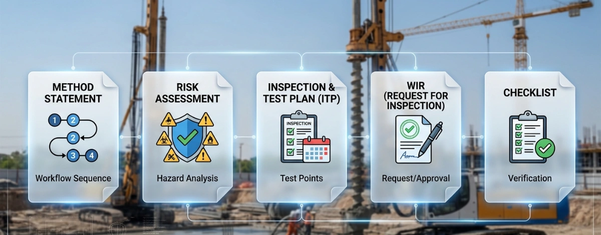
Related Inspection and Test Plan
An Inspection and Test Plan (ITP) is available for Method Statement: Pre-construction Underground Utility Detection and Potholing (CAT & Genny, GPR, Vacuum Excavation, Trial Holes). The ITP defines the inspection activities, acceptance criteria, hold and witness points, responsible parties, and records required to verify the work described in this method statement.
View the Method Statement: Pre-construction Underground Utility Detection and Potholing (CAT & Genny, GPR, Vacuum Excavation, Trial Holes) ITP →Frequently asked questions
Continue with related Quollnet resources connected to this method statement.